

Surveys & Positioning Services
Barge Positioning Services
Barge Positioning Services
Barge Positioning Services
Barge Positioning Services
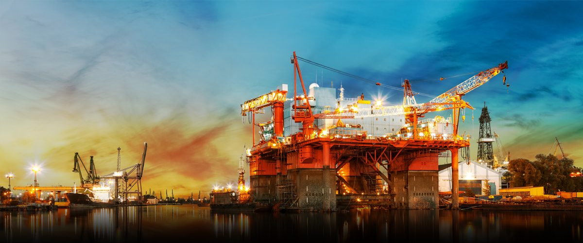
COMACOE owns and operates fully equipped survey vessels equipped with a wide range of survey equipment to meet application and objectives. In addition,a full suite of systems for mobilizing on client-provided or owned vessels, barges or crafts of opportunity are readily available at all our operating bases. Personnel resources encompass all streams and consist of Hydrographic Surveyors, Land Surveyors, Geophysicists, Geologists, System Engineers, Data Processors, GIS CAD Operators and Analysts etc. An inhouse training center ensures that all our personnel are continuously upgraded and kept in-date with new technology developments and techniques. Inhouse training also enables continuous skill development and career progression of our employees.
Marine
- Seabed Bathymetric mapping
- Geophysical & Hi-Resolution Surveys
- Pipeline Condition Monitoring Surveys with Cathodic Protection measurements
- ROV Surveys
- Pipeline inspections
- Jacket Face inspections
- Hazard Surveys
- UXO Surveys
- Surface Positioning Services
- Subsea Positioning Services
- Environmental Impact Assessment (EIA) Studies
- Oceanographic Studies
- Current, Wave & Tide Observations
- Beach Erosion Monitoring
- Environment Studies
Onshore
- Coastlining and Waterline Delineation
- Topographic survey
- Cadastral survey
- Pipeline route survey
- Transmission line survey
- Quantity survey
- Precision positioning services
- Seismic Refraction/Reflection/Resistivity survey
- Environmental Impact Studies & Analysis
Back

Information
Services
Blog & News
- COMACOE celebrates Silver Anniversary! February 22, 2020
- COMACOE inaugurates new office in Kolkata! February 3, 2020
- COMACOE celebrates 25th anniversary in 2020! February 3, 2020
Contact Info
Coastal Marine Construction & Engineering Limited
C Cube, Mira-Bhayander Road, Mira Road (East)
Thane 401107, Maharashtra, India
- Phone : +91 22 6275 6000
- Fax : +91 22 6275 6022
© 2017 Coastal Marine Construction & Engineering Limited. All Rights Reserved | Design By - AspireDigi